Climate & Ecosystem Monitoring
- Gathers data on glaciers, coastlines, wetlands, and endangered species
- Allows real-time climate impact assessment
- Provides low-cost environmental surveying
Technologies
From reforestation to smart city infrastructure, drones deliver measurable impact across sectors.
Tracks deforestation, illegal logging, and forest health. Supports rapid reforestation with seed-dropping drones. Monitors biodiversity and wildlife habitats.
Seeding Modules
Seeding modules 3D printing in own laboratory for re-forestation program. Seeding modules also contribute in save the honey bee program in seeding and distribution of seeds for honey bees food plants.
Environmental Sustainability
Precision Agriculture optimizes water, fertilizers, and pesticides. Increases crop yield and resource efficiency and reduces environmental runoff.
From autonomous delivery drones to advanced defense UAV platforms, our portfolio companies are shaping the future of air mobility.
Join the Future of Innovation
Whether you’re an investor seeking opportunities or a startup looking for funding, we’re ready to help you build the future of aerial technology.
Drones are becoming powerful tools for governments, NGOs, research institutions, and businesses seeking efficient, low-impact solutions.
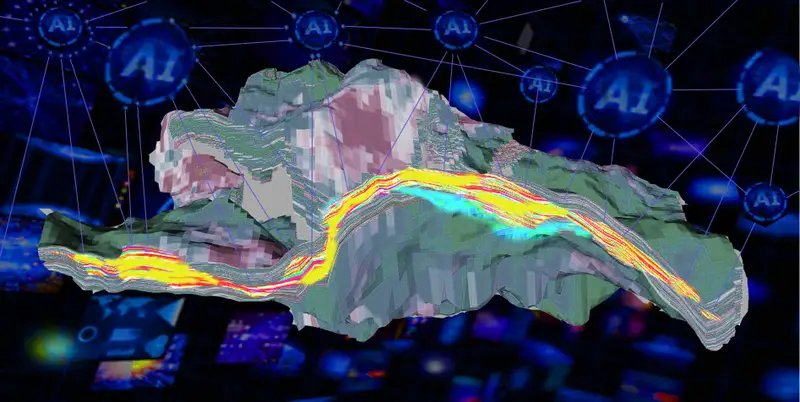
AI transforms drones from remote-controlled devices into autonomous systems capable of understanding, analyzing, and responding in real time.
Obstacle Avoidance - AI-powered sensors and computer vision detect obstacles and adjust flight paths instantly.
GPS-Free Navigation - Visual SLAM enables indoor and GPS-denied navigation.
Swarm Intelligence - Coordinated multi-drone missions for search-and-rescue, reconnaissance, and surveying.
Object Detection - Identify vehicles, people, wildlife, crops, or structural defects.
Pattern Recognition - Detect irrigation issues, damaged infrastructure, and monitor wildlife populations.
Thermal and Multispectral Analysis - Interpret heat signatures and crop health.
Applications include:
AI turns images into actionable insights.